| BESTANSUR
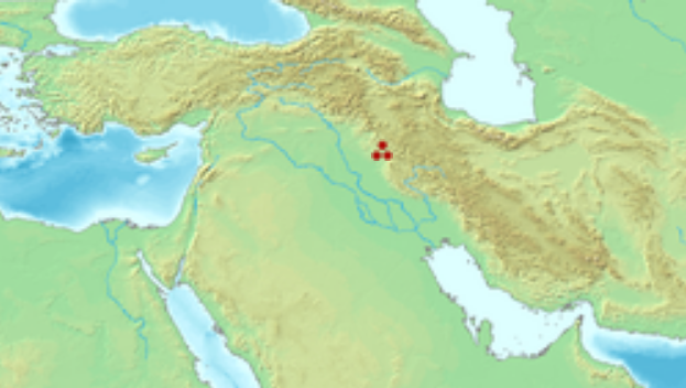
Bestansur shown within Near East Location : Kurdistan Regional Government, Iraq
Coordinates : 35°22'36 N 45°38'44 E
HistoryFounded : approx 7700 BC
Periods : Neolithic to Sasanian
Site notes :
Archaeologists : Roger Matthews (archaeologist), Wendy Matthews, Kamal Rasheed Raheem
Bestansur is a Neolithic tell, or archaeological settlement mound, located in Sulaimaniyah province, Kurdistan Regional Government, Iraq in the western Zagros foothills. The site is located on the edge of the Shahrizor Plain, 30 km to the south-east of Sulaimaniyah. It is on the UNESCO World Heritage Tentative List
The
site and its environment :
History
of research : Bestansur is on the UNESCO World Heritage Tentative List.
Occupation
history :
Occupation at the site consists of mud-brick and pisé rectangular buildings. The use of plaster has been recorded. An infrared microspectroscopic study of plasters and pigments discovered from Building 8 found evidence for red and black pigments. A large-porticoed building, Building 5, contained a large oven. Evidence for activities taking place in the external areas surrounding the buildings include hearths, butchery and stone-working waste. Numerous burials have been discovered beneath floors at the site, including 72 individuals beneath the floor of a single-room in Building 5.
The archaeological surface survey at the site also recorded pottery fragments dating to the seventh or early sixth millennium BC, based on well-stratified parallels found at sites like Tell Sabi Abyad, Tell Hassuna and Jarmo. More specifically, the links with Sabi Abyad allowed for a date between 6500-6200 cal BC. One interesting fragment had an imprint of a textile net, making this some of the earliest evidence for textile imprints in Upper Mesopotamia. The exact use of the net could be established, but a primary function as fishing net has been proposed based on the size of the net's meshes, and the location of Bestansur in a marshy environment with plenty of water resources. Fish are also depicted on painted Samarra and Halaf pottery vessels, indicating that fish must have been an important resource during this period.
Source :
https://en.wikipedia.org/ |