TELL
SAADIYA
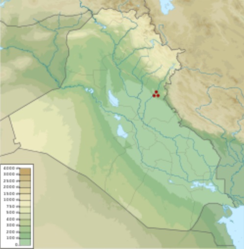
Tell
Saadiya shown within Iraq
Location
: Diyala Governorate, Iraq
Region
:
Mesopotamia
Coordinates
:
34°10'48 N 45°6'36 E (approximate)
Type
:
tell
History
:
Periods
:
Ubaid periodTell Saadiya (also Tell es-Saadiya) is a tell, or archaeological
settlement mound, in Diyala Governorate (Iraq).
Archaeological
research :
Excavations at the site were conducted in 1979–1980. They
were part of an international salvage operation organized by the
Iraqi Directorate of Antiquities which aimed to protect historical
monuments in the Gebel Hamrin region endangered by the building
of a dam on the Diyala River (Hamrin program, Hamrin Dam Salvage
Project). Archaeological works at Tell Saadiya were carried out
by a team from the Polish Centre of Mediterranean Archaeology University
of Warsaw, headed by Stefan K. Kozlowski and Piotr Bielinski. The
northern and western slopes of the small tell (about 80 m in diameter)
had already been destroyed by construction works. Most of the site
was occupied by a modern cemetery, which had disturbed the stratigraphy.
The excavations uncovered a settlement from the Ubaid period (5th
millennium BC) with multi-room houses built of sun-dried mud-bricks,
as well as pottery kilns. Some of the houses were more impressive,
featuring a central hall with rooms, usually smaller, adjacent to
its longer sides. Child burials in urns were found under some of
the floors. These burial containers, including beautifully-painted
jugs, were the most valuable objects discovered at the site.
Source
:
https://en.wikipedia.org/
wiki/Tell_Saadiya