TELL
TAYA
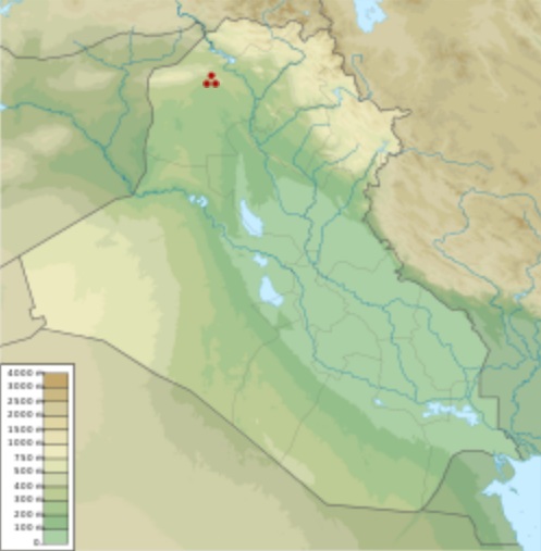
Tell
Taya shown within Iraq
Location
: Nineveh Province, Iraq
Region
:
Mesopotamia
Coordinates
:
36°19'57.34 N 42°29'37.36 E
Type
:
tell
Area
:
20 km2 (7.7 sq mi)
Site
notes :
Excavation
dates :
1967–1969, 1972–1973
Archaeologists
:
J.E. Reade
Tell
Taya is an archaeological site at a tell (hill city) in Nineveh
Province (Iraq). It was occupied from the third to the first millennia
BCE.
History
of archaeological research :
The site was first recorded by Seton Lloyd in 1938 during his survey
of the region. Tell Taya was excavated by a team from the British
School of Archaeology in Iraq led by J. E. Reade in 1967–1969
and 1972–1973. Numerous stone structures were investigated,
and pottery, along with a few tablets and cylinder seals, were recovered
in the 9 layers. One of the cyclider seals was quite unusual, containing
only cuneiform writing which has not yet been deciphered.
Tell
Taya and its environment :
Tell Taya lies about 20 kilometres (12 mi) southwest of Mosul and
Nineveh. The location controls a formerly rich agricultural area
and an important trade route. It covers about 20 square kilometres
(7.7 sq mi) and the central tell is around 9 metres (30 ft) high.
Occupation
history :
The site was heavily occupied on and off during the second half
of the 3rd millennium, with some re-use in the Old Babylonian period
and the Neo-Assyrian period. There is some evidence of Early Dynastic
occupation, but major building at Tell Taya began around the time
that the Akkadian Empire emerges.
Source
:
https://en.wikipedia.org/
wiki/Tell_Taya