EURASIAN
STEPPE
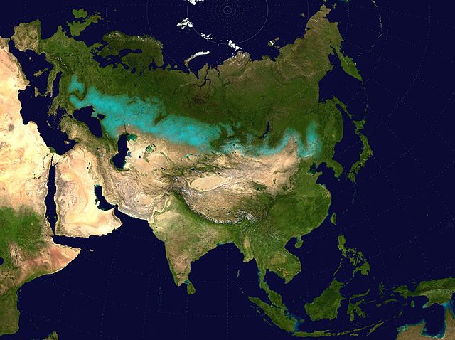
Eurasian
steppe belt (turquoise)
The
Eurasian Steppe, also called the Great Steppe or the steppes, is
the vast steppe ecoregion of Eurasia in the temperate grasslands,
savannas, and shrublands biome. It stretches from Bulgaria, Romania,
Moldova, Ukraine, Western Russia, Siberia, Kazakhstan, Xinjiang,
Mongolia, and Manchuria, with one major exclave, the Pannonian steppe
or Puszta, located mostly in Hungary.
Since
the Paleolithic age, the Steppe Route has connected Central Europe,
Eastern Europe, Western Asia, Central Asia, Eastern Asia, and Southern
Asia economically, politically, and culturally through overland
trade routes. The Steppe route is a predecessor not only of the
Silk Road which developed during antiquity and the Middle Ages,
but also of the Eurasian Land Bridge in the modern era. It has been
home to nomadic empires and many large tribal confederations and
ancient states throughout history, such as the Xiongnu, Scythia,
Cimmeria, Sarmatia, Hunnic Empire, Chorasmia, Transoxiana, Sogdiana,
Xianbei, Mongols, and Göktürk Khaganate.
Geography
:
_no_borders.png)
The
Köppen climate classification
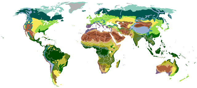
Biomes
classified by vegetation
.svg.png)
Humid
continental climate worldwide, utilizing the Köppen climate
classification
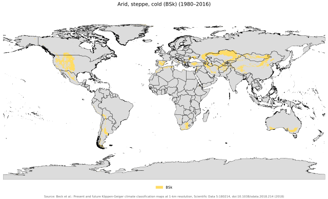
Cold
steppe climate worldwide, utilizing the Köppen climate classification
Divisions :
The Eurasian Steppe extends thousands of miles from near the mouth
of the Danube almost to the Pacific Ocean. It is bounded on the
north by the forests of European Russia, Siberia and Asian Russia.
There is no clear southern boundary although the land becomes increasingly
dry as one moves south. The steppe narrows at two points, dividing
it into three major parts.
Pannonian
steppe (Exclave) :
The Pannonian steppe is an exclave of the Eurasian Steppe belt.
It is found in modern-day Austria, Bulgaria, Hungary, Romania, Serbia
and Slovakia.
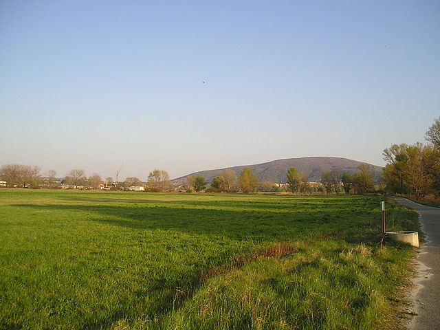
Devínska Kobyla, Bratislava, Slovakia
The
Pannonian steppe in Seewinkel, Austria
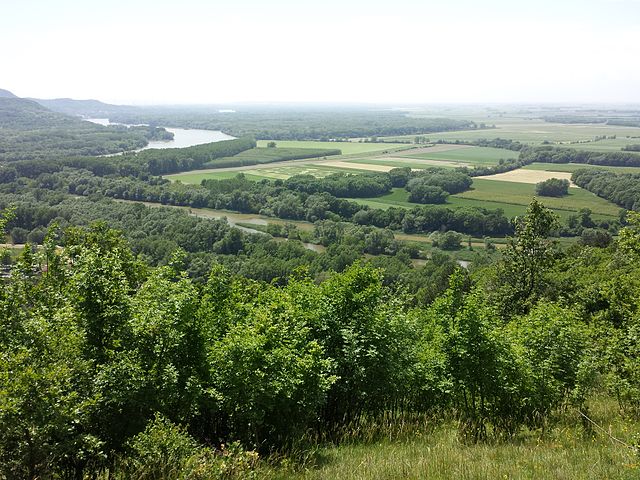
The
Pannonian steppe in Devínska Kobyla, Bratislava, Slovakia
Danube-Auen
National Park, Austria
Pontic–Caspian
steppe (Western Steppe) :
The Pontic–Caspian steppe begins near the mouth of the Danube
and extends northeast almost to Kazan and then southeast to the
southern tip of the Ural Mountains. Its northern edge was a broad
band of forest steppe which has now been obliterated by the conversion
of the whole area to agricultural land. In the southeast the Black
Sea–Caspian Steppe extends between the Black Sea and Caspian
Sea to the Caucasus Mountains. In the west, the Great Hungarian
Plain is an island of steppe separated from the main steppe by the
mountains of Transylvania. On the north shore of the Black Sea,
the Crimean Peninsula has some interior steppe and ports on the
south coast which link the steppe to the civilizations of the Mediterranean
basin.
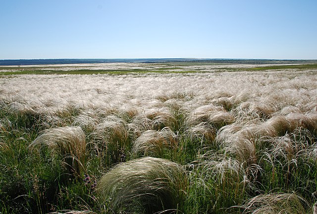
The Pontic–Caspian steppe near Krynychne, Ukraine
The
Pontic–Caspian steppe in Henichesk, Ukraine
Steppes
in Gagauzia, Moldova
Steppes
in Gagauzia, Dezghingea, Moldova
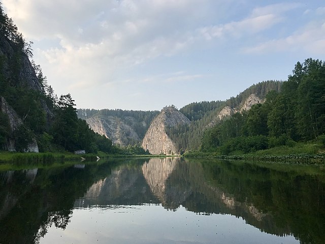
Ural–Caspian
Narrowing :
The Ural Mountains extend south to a point about 650 km (400 mi)
northeast of the Caspian Sea.
Wooded Ural Mountains of Beloretsky District, Russia
The
Bashkiriya National Park is situated in the southern end of the
Ural Mountains, Russia
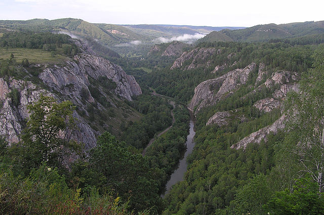
The
Bashkiriya National Park, Ural Mountains, Russia
The
Bashkiriya National Park, Ural Mountains, Russia
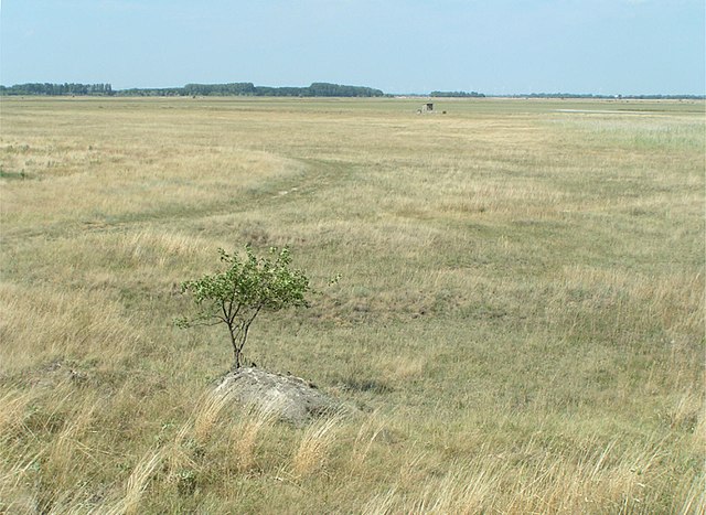
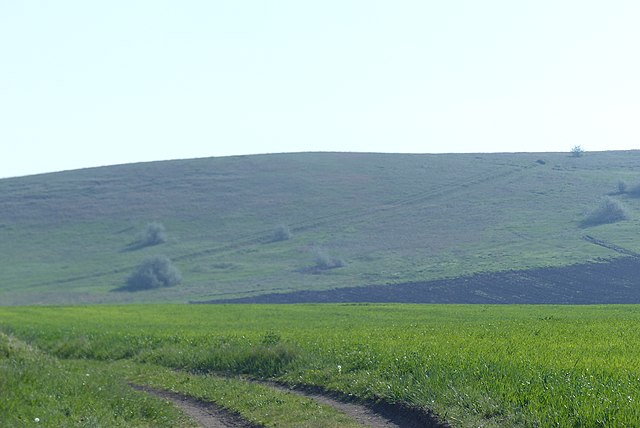
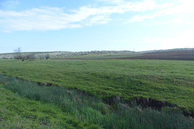
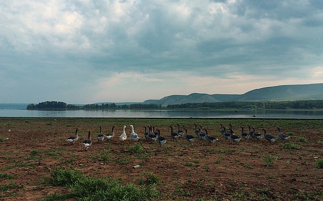
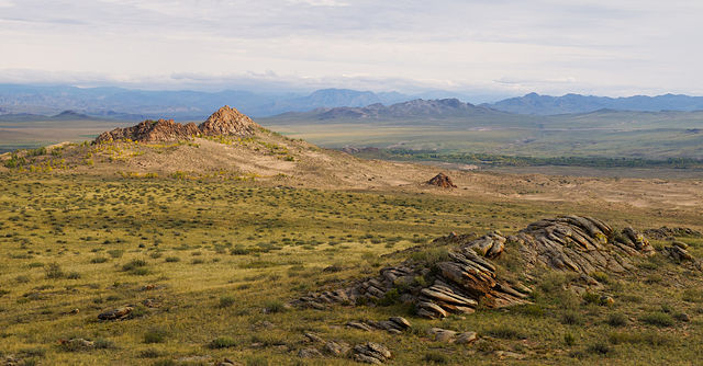
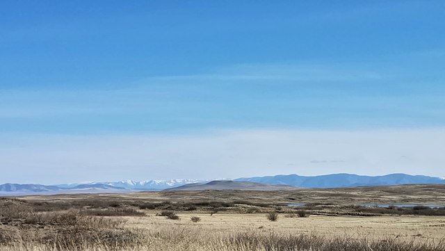
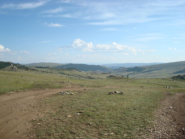
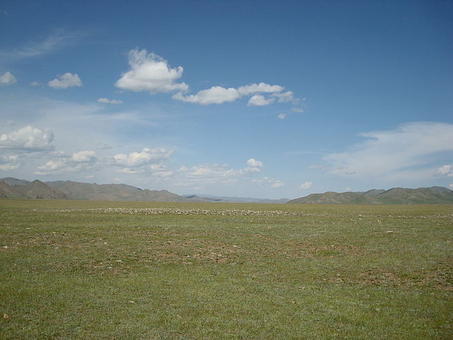
Kazakh
Steppe (Central Steppe) :
The Kazakh Steppe extends from the Urals to Dzungaria. To the south,
it grades off into semi-desert and desert which is interrupted by
two great rivers, the Amu Darya (Oxus) and Syr Darya (Jaxartes),
which flow northwest into the Aral Sea and provide irrigation agriculture.
In the southeast is the densely populated Fergana Valley and west
of it the great oasis cities of Tashkent, Samarkand and Bukhara
along the Zeravshan River. The southern area has a complex history,
while in the north, the Kazakh Steppe proper was relatively isolated
from the main currents of written history.
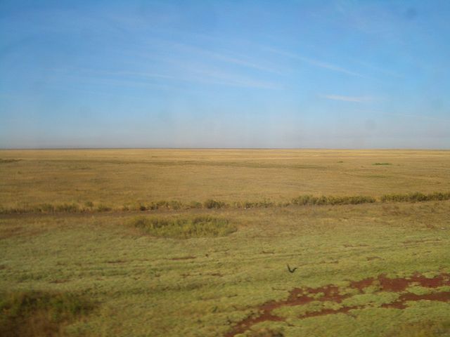
The steppe in Akmola Region, Kazakhstan
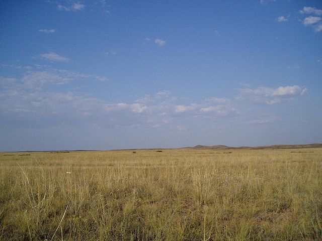
The
steppes in Akmola Province, Kazakhstan
The
Kazakh Steppe in the Ayagoz District, Kazakhstan
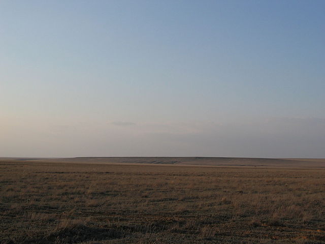
The
Kazakh Steppe in the early spring
Dzungarian
Narrowing :
On the east side of the former Sino-Soviet border mountains extend
north almost to the forest zone with only limited grassland in Dzungaria.
The
east-west Tien Shan Mountains divide it into Dzungaria in the north
and the Tarim Basin to the south. Dzungaria is bounded by the Tarbagatai
Mountains on the west and the Mongolian Altai Mountains on the east,
neither of which is a significant barrier. Dzungaria has good grassland
around the edges and a central desert. It often behaved as a westward
extension of Mongolia and connected Mongolia to the Kazakh steppe.
To the north of Dzungaria are mountains and the Siberian forest.
To the south and west of Dzungaria, and separated from it by the
Tian Shan mountains, is an area about twice the size of Dzungaria,
the oval Tarim Basin. The Tarim Basin is too dry to support even
a nomadic population, but around its edges rivers flow down from
the mountains giving rise to a ring of cities which lived by irrigation
agriculture and east-west trade. The Tarim Basin formed an island
of near civilization in the center of the steppe. The Northern Silk
Road went along the north and south sides of the Tarim Basin and
then crossed the mountains west to the Fergana Valley. At the west
end of the basin the Pamir Mountains connect the Tien Shan Mountains
to the Himalayas. To the south, the Kunlun Mountains separate the
Tarim Basin from the thinly peopled Tibetan Plateau.
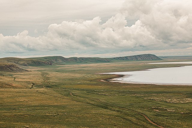
Uvs Lake Basin, Tuva Republic, Russia
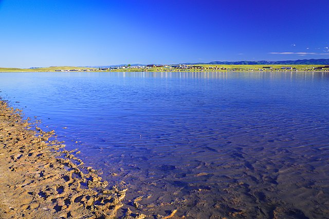
Dus-Khol
lake, Tuva Republic, Russia
The
grassland in Tuva Republic, Russia
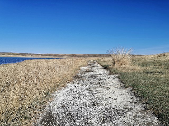
Dus-Khol
Lake, Tandinsky District, Tuva Republic, Russia
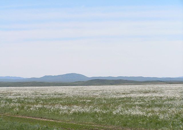
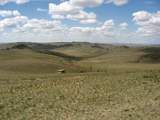
Mongolian-Manchurian
steppe (Eastern Steppe) :
The Mongol Steppe includes both Mongolia and the Chinese province
of Inner Mongolia. The two are separated by a relatively dry area
marked by the Gobi Desert. South of the Mongol Steppe is the high
and thinly peopled Tibetan Plateau. The northern edge of the plateau
is the Gansu or Hexi Corridor, a belt of moderately dense population
that connects China proper with the Tarim Basin. The Hexi Corridor
was the main route of the Silk Road. In the southeast the Silk Road
led over some hills to the east-flowing Wei River valley which led
to the North China Plain.
Manchuria
is a special case. Westerners tend to think of Manchuria as the
northeast projection of China that they see on maps. The Chinese
now call this the eastern two thirds of Northeast China. The dryer
western third west of the Greater Khingan Mountains has normally
been part of Inner Mongolia. Before 1859, Manchuria also included
Outer Manchuria to the north and east, which is now part of Russia.
South of the Khingan Mountains and north of the Taihang Mountains,
the Mongolian-Manchurian steppe extends east into Manchuria as the
Liao Xi steppe. In Manchuria, the steppe grades off into forest
and mountains without reaching the Pacific. The central area of
forest-steppe was inhabited by pastoral and agricultural peoples,
while to the north and east was a thin population of hunting tribes
of the Siberian type.
The Daurian forest steppe
The
Mongolian-Manchurian grassland in the Khövsgöl Province,
Mongolia
Grass
steppe in the Khövsgöl Province, Mongolia
Daursky
Nature Reserve in the southern part of the Zabaykalsky Krai in Siberia,
Russia, close to the border with Mongolia
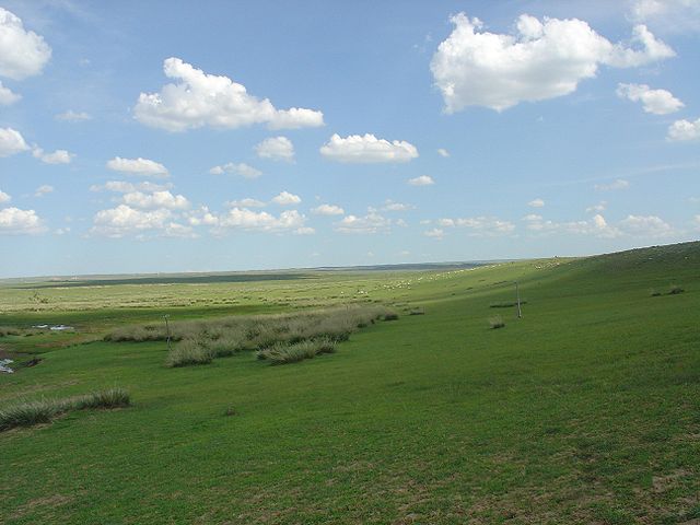
The
Mongolian-Manchurian grassland in Inner Mongolia, China
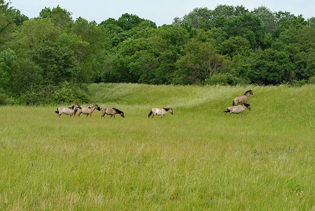
Fauna
:
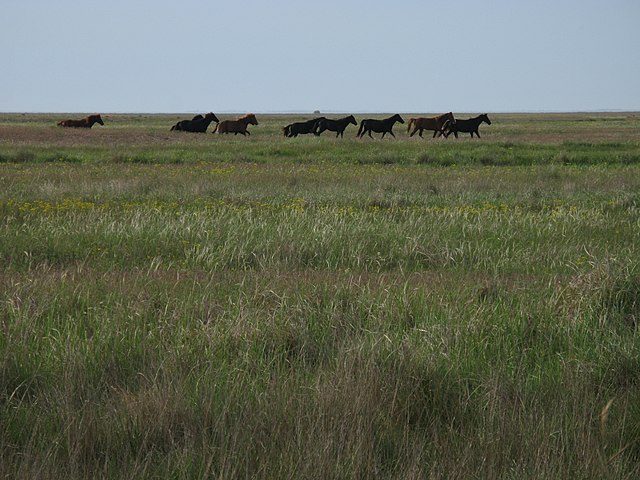
Big mammals of the Eurasian steppe were the Przewalski's horse,
the saiga antelope, the Mongolian gazelle, the goitered gazelle,
the wild Bactrian camel and the onager. The gray wolf and the corsac
fox and occasionally the brown bear are predators roaming the steppe.
Smaller mammal species are the Mongolian gerbil, the little souslik
and the bobak marmot.
Furthermore,
the Eurasian steppe is home to a great variety of bird species.
Threatened bird species living there are for example the imperial
eagle, the lesser kestrel, the great bustard, the pale-back pigeon
and the white-throated bushchat.
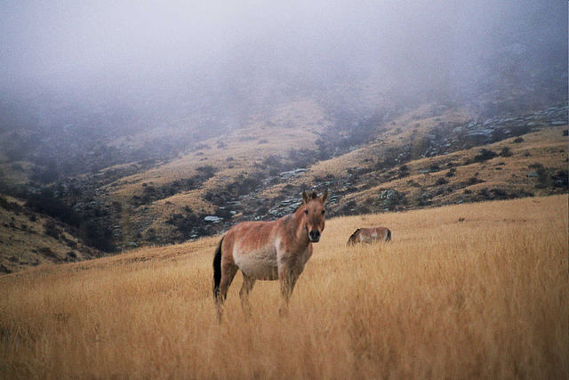
Przewalski horse
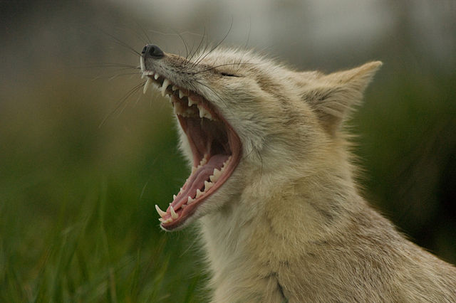
Corsac
fox
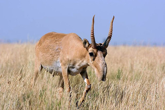
Saiga
antelope
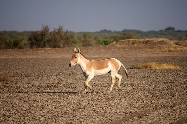
Onager
The
primary domesticated animals raised were sheep and goats with fewer
cattle than one might expect. Camels were used in the drier areas
for transport as far west as Astrakhan. There were some yaks along
the edge of Tibet. The horse was used for transportation and warfare.
The horse was first domesticated on the Pontic–Caspian or
Kazakh steppe sometime before 3000 BC, but it took a long time for
mounted archery to develop and the process is not fully understood.
The stirrup does not seem to have been completely developed until
300 AD (see Stirrup, Saddle, Composite bow, Domestication of the
horse and related articles).
Ecoregions
:
The World Wide Fund for Nature divides the Eurasian steppe's temperate
grasslands, savannas, and shrublands into a number of ecoregions,
distinguished by elevation, climate, rainfall, and other characteristics,
and home to distinct animal and plant communities and species, and
distinct habitat ecosystems.
•
Alai–Western Tian Shan steppe (Kazakhstan, Tajikistan, Uzbekistan)
• Altai steppe and semi-desert (Kazakhstan)
• Baraba steppe (Russia)
• Daurian forest steppe (China, Mongolia, Russia)
• Emin Valley steppe (China, Kazakhstan)
• Kazakh forest steppe (Kazakhstan, Russia)
• Kazakh Steppe (Kazakhstan, Russia)
• Kazakh Uplands (Kazakhstan)
• Mongolian-Manchurian grassland (China, Mongolia,
Russia)
• Pontic–Caspian steppe (Moldova, Romania,
Russia, Ukraine)
• Sayan Intermontane steppe (Russia)
• Selenge–Orkhon forest steppe (Mongolia, Russia)
• South Siberian forest steppe (Russia)
• Tian Shan foothill arid steppe (China, Kazakhstan,
Kyrgyzstan)
• Pannonian Steppe (Hungary, Romania, Serbia, Croatia,
Slovakia, Austria, Slovenia)
Human activities :
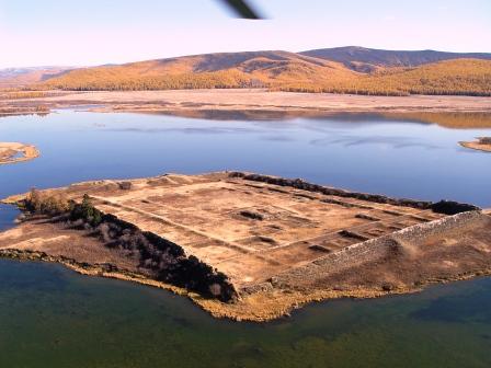
The site of Por-Bazhyn
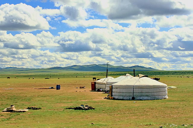
Mongolian
yurt
Trade habits :
The major centers of population and high culture in Eurasia are
Europe, the Middle East, India and China. For some purposes it is
useful to treat Greater Iran as a separate region. All these regions
are connected by the Eurasian Steppe route which was an active predecessor
of the Silk Road. The latter started in the Guanzhong region of
China and ran west along the Hexi Corridor to the Tarim Basin. From
there it went southwest to Greater Iran and turned southeast to
India or west to the Middle East and Europe. A minor branch went
northwest along the great rivers and north of the Caspian Sea to
the Black Sea. When faced with a rich caravan the steppe nomads
could either rob it, or tax it, or hire themselves out as guards.
Economically these three forms of taxation or parasitism amounted
to the same thing. Trade was usually most vigorous when a strong
empire controlled the steppe and reduced the number of petty chieftains
preying on trade. The silk road first became significant and Chinese
silk began reaching the Roman Empire about the time that the Emperor
of Han pushed Chinese power west to the Tarim Basin.
Agriculture
:
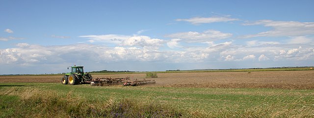
Plowing
with tractor on the Great Hungarian Plain (Alföld), Hungary
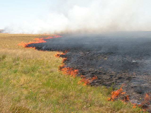
Steppe
fire in the Kostanay Region, Kazakhstan
The nomads would occasionally tolerate colonies of peasants on the
steppe in the few areas where farming was possible. These were often
captives who grew grain for their nomadic masters. Along the fringes
there were areas that could be used for either plowland or grassland.
These alternated between one and the other depending on the relative
strength of the nomadic and agrarian heartlands. Over the last few
hundred years, the Russian steppe and much of Inner Mongolia has
been cultivated. The fact that most of the Russian steppe is not
irrigated implies that it was maintained as grasslands as a result
of the military strength of the nomads.
Language
:
According to the most widely held hypothesis of the origin of the
Indo-European languages, the Kurgan hypothesis, their common ancestor
is thought to have originated on the Pontic-Caspian steppe. The
Tocharians were an early Indo-European branch in the Tarim Basin.
At the beginning of written history the entire steppe population
west of Dzungaria spoke Iranian languages. From about 500 AD the
Turkic languages replaced the Iranian languages first on the steppe,
and later in the oases north of Iran. Additionally, Hungarian speakers,
a branch of the Uralic language family, who previously lived in
the steppe in what is now Southern Russia, settled in the Carpathian
basin in year 895. Mongolic languages are in Mongolia. In Manchuria
one finds Tungusic languages and some others.
Religion
:
Tengriism was introduced by Turko-Mongol nomads. Nestorianism and
Manichaeism spread to the Tarim Basin and into China, but they never
became established majority religions. Buddhism spread from the
north of India to the Tarim Basin and found a new home in China.
By about 1400 AD, the entire steppe west of Dzungaria had adopted
Islam. [citation needed] By about 1600 AD, Islam was established
in the Tarim Basin while Dzungaria and Mongolia had adopted Tibetan
Buddhism.
History
:
Warfare :
Raids between tribes were prevalent throughout the region's history.
This is connected to the ease with which a defeated enemy's flocks
can be driven away, making raiding profitable. In terms of warfare
and raiding, in relation to sedentary societies, the horse gave
the nomads an advantage of mobility. Horsemen could raid a village
and retreat with their loot before an infantry-based army could
be mustered and deployed. When confronted with superior infantry,
horsemen could simply ride away and retreat and regroup. Outside
of Europe and parts of the Middle East, agrarian societies had difficulty
raising a sufficient number of war horses, and often had to enlist
them from their nomadic enemies (as mercenaries). Nomads could not
easily be pursued onto the steppe since the steppe could not easily
support a land army. If the Chinese sent an army into Mongolia,
the nomads would flee and come back when the Chinese ran out of
supplies. But the steppe nomads were relatively few and their rulers
had difficulty holding together enough clans and tribes to field
a large army. If they conquered an agricultural area they often
lacked the skills to administer it. If they tried to hold agrarian
land they gradually absorbed the civilization of their subjects,
lost their nomadic skills and were either assimilated or driven
out.
Relations
with neighbors :
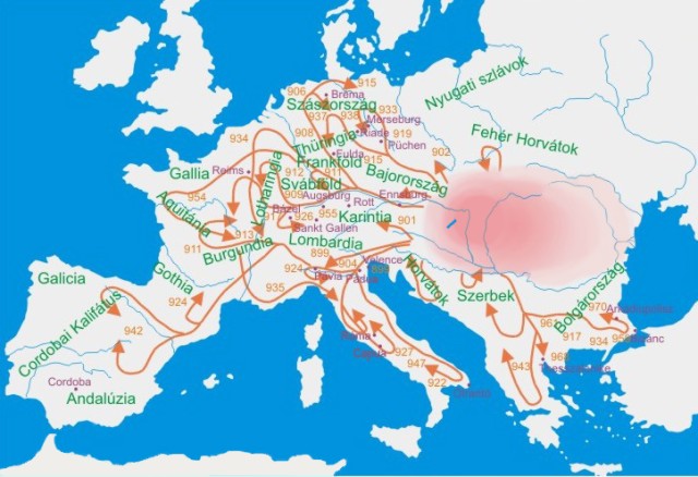
Hungarian
invasions of Europe in the 9–10th century
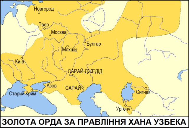
Territories
of the Golden Horde under Öz Beg Khan
Along the northern fringe the nomads would collect tribute from
and blend with the forest tribes. [citation needed] From about 1240
to 1480 Russia paid tribute to the Golden Horde. [citation needed]
South of the Kazakh steppe the nomads blended with the sedentary
population, partly because the Middle East has significant areas
of steppe (taken by force in past invasions) and pastoralism. There
was a sharp cultural divide between Mongolia and China and almost
constant warfare from the dawn of history until the Qing conquest
of Dzungaria in 1757. [citation needed] The nomads collected large
amounts of tribute from the Chinese and several Chinese dynasties
were of steppe origin. Perhaps because of the mixture of agriculture
and pastoralism in Manchuria its inhabitants, the Manchu, knew how
to deal with both nomads and the settled populations, and therefore
were able to conquer much of northern China when both Chinese and
Mongols were weak.
Legacy
of the Eurasian steppe nomads :
Russian culture and people were much influenced by the Asian nomads
in the Russian steppe and the adjoining steppes and deserts. The
steppe culture of Russia was shaped in Russia through cross-cultural
contact mostly by Slavic, Tatar-Turkic, Mongolian and Iranian people.
In addition to ethnicity, also instruments such as the domra, traditional
costumes such as kaftan, sarafan, Russian Cossack and tea culture
were strongly influenced by the culture of Asian nomadic peoples.
The Eurasian steppes play a major role in Russia's more than 1000-year-old
history, so that the steppes are a subject of many Russian folk
songs.
Historical
peoples and nations :
• Thracians 15th-3rd centuries BC
• Chorasmia 13th–3rd centuries BC
• Cimmerians 12th–7th centuries BC
• Magyars 11th century BC – 8th century AD
• Scythians 8th–4th centuries BC
•
Sogdiana 8th–4th centuries BC
• Issedones 7th–1st century BC
• Massagatae 7th–1st century BC
• Thyssagetae 7th–3rd century BC
• Donghu 7th – 2nd century BC
• Dahae 7th BC-5th century AD
• Saka 6th–1st centuries BC
• Sarmatians 5th century BC – 5th century AD
• Bulgars 7th century BC–7th century AD
• Transoxiana 4th century BC – 14th century
AD
• Xiongnu 3rd century BC – 2nd century AD
• Iazyges 3rd century BC – 5th century AD
• Yuezhi 2nd century BC – 1st century AD
• Tauri
• Wusun 1st century BC – 6th century AD
• Xianbei 1st–3rd centuries
• Goths 3rd–6th centuries
• Vandals 2nd–5th centuries
• Visigoths 3rd–5th centuries
• Franks 3rd–8th centuries
• Huns 4th–8th centuries
• Ostrogoths 4th–8th centuries
• Early Slavs 5th-10th centuries
• Alans 5th–11th centuries
• Avars 5th–9th centuries
• Hepthalites 5th–7th centuries
• Eurasian Avars 6th–8th centuries
• Göktürks 6th–8th centuries
• Sabirs 6th–8th centuries
• Khazars 7th–11th centuries
• Onogurs 8th century
• Pechenegs 8th–11th centuries
• Bashkirs 10th century-present day
• Kipchaks and Cumans 11th–13th centuries
• Crimean Goths
• Mongol Empire 13th–14th centuries
• Tsagadai Ulus 13th–15th centuries
• Golden Horde 13th–15th centuries
• Cossacks, Kalmyks, Crimean Khanate, Volga Tatars,
Nogais and other Turkic states and tribes 15th–18th centuries
• Russian Empire 18th–20th centuries
• Soviet Union 20th century
• Gagauzia, Kazakhstan, Russian Federation, Ukraine,
Xinjiang 20th–21st centuries
• Mamluk Sultanate (Cairo) 13th-16th centuries
Source
:
https://en.wikipedia.org/
wiki/Eurasian_Steppe