| BEAS RIVER
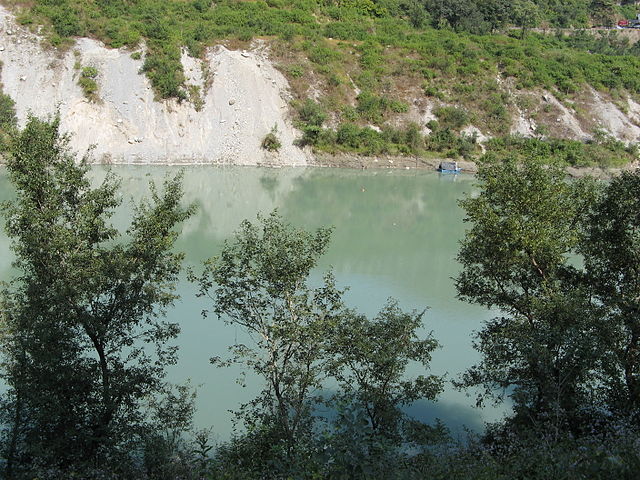
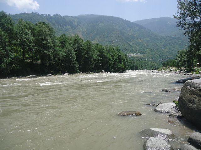
The Beas River in Himachal Pradesh
The Beas river flows into the Satluj and feeds into the Indus Location :
Country : India
Location
: State Himachal Pradesh, Punjab
Location : Punjab
Coordinates : 31°09'16 N 74°58'31 E
Length : 470 km (290 mi)
The Beas River (in sanskrit or Vipasha) is a river in north India. The river rises in the Himalayas in central Himachal Pradesh, India, and flows for some 470 kilometres (290 mi) to the Sutlej River in the Indian state of Punjab. Its total length is 470 kilometres (290 mi) and its drainage basin is 20,303 square kilometres (7,839 sq mi) large.
As of 2017 the river is home to a tiny isolated population of the Indus dolphin.
Etymology
:
Before Ved Vyas, the Vipas river was known as Saraswati. Rishi Vashisht, the Great Grandfather of Vyas tried to jump into this river from an overlooking hillock, to sacrifice his soul. However, the river altered form to become a sandbed, saving him. On account of this incident, the great Rishi opted to settle near the river, and made it a residence for some years. Thereby, it became known as Vashisht (after Vashisht). We can find Vashisht Brahmarishi Temple in this village.
Vashisth, at that time, already had his lineage through his son Shakti, who in turn was the father of Parashar Rishi. Parashar is considered the father of Hindu Jyotish (astrology) vide his authorship of Parashar Hora Shashtra. Ved Vyas is the son of Parashar.
After settling near the river, Rishi Vashisht sired a different branch of descendants. He worshiped Lord Shiv at this place, giving rise to the name of "Rajeshwar" for Lord Shiv in the region.
Rig-ved calls the river Vipas, which means unfettered, in later Sanskrit texts it's been called Vipas, Yask identifies it with Argrikiya.
Ancient Greeks called it Hyphasis, Plinius called it Hypasis, an approximation to the vedic Vipas. Other classical names are Hynais, Bipasis, Bibasis.
In modern times it's also been called Bias or Bejah.
History :
Beas River in Himachal Pradesh
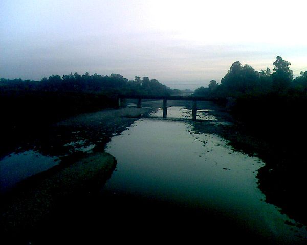
Beas River in Pathankot The Beas River marks the easternmost border of Alexander the Great's conquests in 326 BCE. It was one of the rivers which created problems in Alexander's invasion of India. His troops mutinied here in 326 BCE, refusing to go any further; they had been away from home for eight years. Alexander shut himself in his tent for three days, but when his men did not change their desires he gave in, raising twelve colossal altars to mark the limit and glory of his expedition.
According to the Kavyamimansa of Rajasekhar, the kingdom-territories of the Gurjar-Pratihar monarch Mahipal I extended as far as the upper course of the river Beas in the north-west.
In the 20th century, the river was developed under the Beas Project for irrigation and hydroelectric power generation purposes. The second-phase Pong Dam was completed in 1974 followed by the first-phase 140 kilometres (87 mi) upstream, Pandoh Dam in 1977. The Pong Dam served initially to primarily provide irrigation below Talwara but was soon developed as well for power generation; its power station has a 360 MW installed capacity. The Pandoh Dam diverts the river through a system of tunnels and channels to the 990 MW Dehar Power Station on the Sutlej River, connecting both rivers.
The Shahnehar canal takes off from the Shahnehar barrage/headwork which is located just downstream of Pong dam to supply water for irrigation needs and four cascading power houses at the canal drops before releasing water further downstream in the Beas river. These power stations, named Mukerian hydel (12 units), has 207 MW total generating capacity. At the confluence with the Sutlej river, Harike barrage was constructed to divert the combined water flows of both rivers to irrigation canals to serve Rajasthan and Punjab areas.
Course
:
The water of the Beas river is allocated to India under the terms of the Indus Waters Treaty between India and Pakistan. The mean annual flow is 14.203 million acre feet (MAF).
Source :
https://en.wikipedia.org/ |
.png)